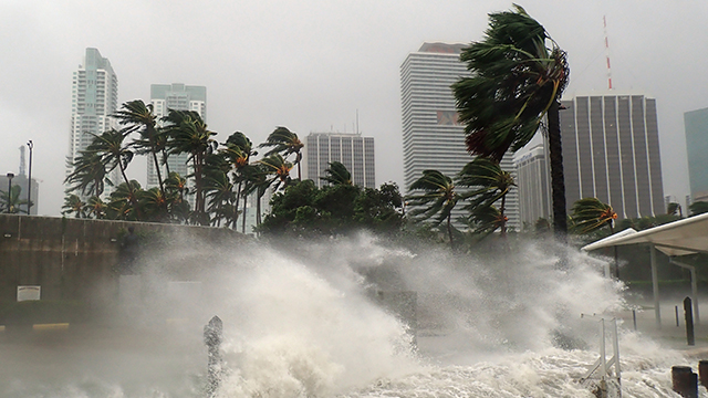
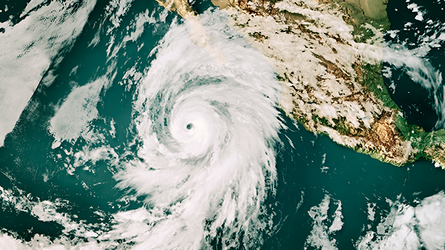
Large tropical storm systems are a significant source of catastrophe risk every year. As a result, (re)insurers must accurately quantify and effectively manage tropical cyclone risk as part of their portfolio management and capital management decision-making.
By accessing advanced, high-resolution representation of hurricane-driven coastal flooding, (re)insurers can confidently select, underwrite, and manage risk down to the street level, better understanding portfolio-wide tail risk driven by storm surge.
We provide a vast array of cyclone, hurricane, and typhoon models, each crafted to deliver detailed risk assessments for these significant natural hazards for over 40 countries.
Learn how customers have taken advantage of HWind’s integration with ExposureIQ™ and Risk Modeler™ to capture critical insights during pivotal moments of the storm.
Moody’s RMS North Atlantic Hurricane Models offer an extensive suite of features designed to measure, differentiate, and manage tropical cyclone risk. Developed over more than 25 years, the models provide the most comprehensive solution available for managing this risk. Geographic coverage spans across over 20 US states, Canada, Mexico, Bermuda, Central America, the Caribbean, and offshore platforms in the Gulf of Mexico.
These models are based on a single, basin-wide stochastic event set in the Atlantic that captures the effects of wind and storm surge from a variety of storms including landfalling, bypassing, and transitioning, with similar catalogs for the East Pacific and Hawaii.
Using high-quality satellite imagery, the models represent local variations in wind hazard and integrate a hydrodynamic surge modeling framework to capture high-fidelity impacts of hurricane-induced coastal flooding in the United States and parts of the Caribbean.
The Moody’s RMS North Atlantic Hurricane Models enhance risk differentiation and selection at the local level, featuring over 1,750 different vulnerability functions for various building characteristics, regions, and lines of business. The models reflect the latest market practices and building codes, providing accurate insights into vulnerability risk differentiation for underwriting and managing hurricane risk.
The models have been validated using thousands of wind and storm surge observations, over $300 billion in industry loss data, and more than $27 billion in location-level claims and exposure data (including hurricanes Katrina, Ike, Sandy, Harvey, Irma, Maria, and Michael). Additionally, model assumptions and methodologies undergo extensive review by numerous third-party experts. Moody’s integrates the latest market practices and building codes pertinent to each region.
We incorporate a hydrodynamic, time-stepping storm surge solution in our hurricane models to simulate the intricate interactions between wind and waves throughout a tropical cyclone’s life cycle. This inclusive model solution simulates surge buildup at sea, considering changes in a storm's size and intensity before landfall and the dynamic flow of water around complex coastlines.
The Moody’s RMS North Atlantic Hurricane Models come with thorough documentation, including resources specific to supporting Solvency II validation. This grants us unprecedented transparency and support for various aspects of the models, including methodologies, validation, and change management.
The Moody's RMS Offshore Platform Model is an add-on to the base hurricane model and designed to capture risk to offshore platforms in the Gulf of Mexico. It uses the same event set and wind hazard as the base model and also includes wave hazard to reflect that hurricane-induced waves are the primary driver of risk to offshore platforms. It accounts for the specific vulnerabilities of these structures and offers coverage that reflects industry underwriting norms, combining building and contents into a single property damage coverage and adding coverage for extra operator expenses. The model includes access to an annually updated Offshore Platform Industry Exposure Database that provides critical exposure information for all active platforms, rigs, pipelines, and wells in the Gulf of Mexico.
Moody’s RMS Japan Typhoon and Flood HD Model presents a high-resolution solution for managing risks from typhoon winds, typhoon-driven inland and coastal floods, and non-typhoon floods in Japan. The model uses advanced temporal simulations to model hazard events over multiple years and ground-up sampling to assess losses at every impacted location for each event. Developed in partnership with industry stakeholders and scientific leaders, the model utilizes over ¥2 trillion in claims data and extensive local data on building codes and construction practices to help firms create the most comprehensive view of Japan's typhoon and flood risk.
The models explicitly capture losses from typhoon winds, typhoon-driven inland and coastal floods, and non-typhoon floods, allowing detailed differentiation between different sources of flood risk and allowing for more precise risk assessment and underwriting decisions.
The models employ a high-resolution grid for flood modeling and a variable resolution grid for typhoon wind hazard. This geographic resolution is critical for accurate hazard representation and enhanced risk selection in primary underwriting.
It includes over 5,000 region-specific vulnerability curves for buildings, contents, and business interruption coverages. These curves are developed using extensive claims data and local engineering research, making sure the model precisely reflects the vulnerability of different structures and areas.
The model features the most scientifically advanced extratropical transitioning process to capture changes in typhoon structure as they interact with mid-latitude weather systems, which is essential for modeling event losses from both wind and flood perspectives.
The HD financial model accommodates Japan-specific policy terms such as peril multi-step policies and franchise deductibles, helping provide detailed analysis of losses from complex policy structures and a more accurate financial representation of risk.
Read our latest insights on catastrophes around the world.
Moody’s announced that Version 23 of the North Atlantic Hurricane Models was certified by the Florida Commission on Hurricane Loss Projection Methodology (FCHLPM) on June 1, 2023, for use in residential rate filings with the Florida Office of Insurance Regulation.
2023 was the world’s warmest year on record — 1.35℃ above pre-industrial (1850-1900) levels. The exceptionally high temperatures intensified the impact of weather-related disasters, particularly severe convective storms, wildfires, and floods.
As of October 8, 2024, more than 235,000 commercial real estate properties in Florida had a greater than 50% probability of being exposed to wind speeds of at least 50 mph from Hurricane Milton — the wind speed at which some damage is likely. The total estimated value of these properties is $1.1 trillion.
Extreme weather-related and other physical risks have resulted in less affordable and available property insurance in many areas, which presents a growing risk to municipal credit quality.
HWind hurricane footprints capable of generating modeled losses consistent with the modeled vulnerabilities in Moody’s RMS North Atlantic Hurricane Models are now uploaded to Risk Modeler as they become available.
Supportive regulatory frameworks and storm cost recovery mechanisms may offset the financial impact of Hurricane Helene-related restoration costs for investor-owned electric utilities.
Hurricane Helene’s forecast track across Florida’s panhandle and the South has implications for public safety and business continuity, indicating a higher probability of facing sustained wind speeds above 50 mph. Our tracker provides updates during the Atlantic hurricane season.
Interested in learning more about our offerings? Our solutions specialists are ready to help.